MarkPoint™
Your Response, Enhanced
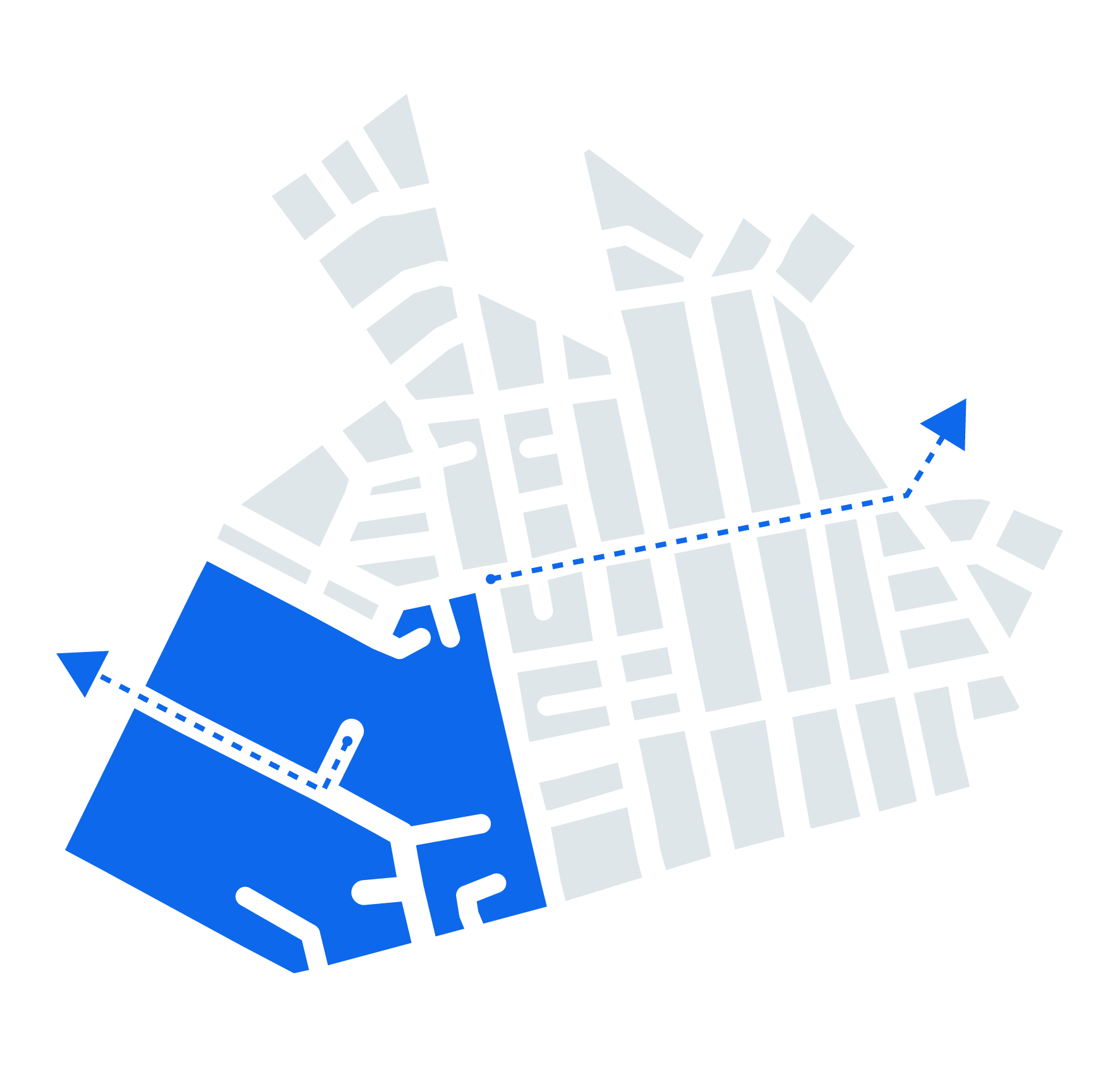
Empower teams to markup maps collaboratively in real-time, enhancing strategy development and execution for all incidents.
- Fire boundaries
- Safe zones
- Resource placements
- Run simulations
- Conduct hypothetical scenarios
- Build response strategies
- Manage outages
- Assess damage
- Coordinate emergency repairs
- Evacuation routes
- Emergency service access points
- Other safety measures
- track changes
- Identify impacted areas
- Plan mitigation strategies
- Plan the response
- Manage logistics
- Manage locations
Detailed Mapping
- Facilitates real-time, interactive collaboration on a unified map interface.
- Ensures all stakeholders view and update the same information concurrently.
- Reduces misunderstandings, keeping all teams synchronized and informed.


Interactive Collaboration
- Quickly adapt strategies to evolving conditions with immediate map and document updates.
- Keeps response strategies aligned with the latest situational developments.
Real-Time Awareness
- Enables precise resource allocation by marking key operational locations on the map.
- Streamlines resource distribution, optimizes response times, and avoids duplication of efforts.

Key Features
• Real-Time Updates
Offers capability to adapt quickly to changing conditions by updating plans instantaneously.

• Customized Incident Plans
Allows creation of tailored incident plans with visual sketches of evacuation zones and containment lines.
• Improved Communication
Visual annotations boost communication clarity among all parties involved, reducing misunderstandings.

• Risk Assessment Tools
Users can mark potential hazards to enhance safety and decision-making.
• Historical Records
Maintains records of planning and strategies for post-incident analysis and learning.

• Remote Collaboration
Supports contributions from remote locations, broadening the scope of expertise and stakeholder involvement.
Funding
Have limited funding? We may be able to help here >
Resources
MarkPoint™
Watch a Short Product Video
Sometimes it is easier to see it in action. Check out this short video.
WatchSee How Others Find Success
Many agencies are having success with MarkPoint. Explore the reasons why.
ViewDownload a One-Page Summary
Take this document with you and show MarkPoint to your team.
DownloadExplore Our Related Articles
Stay up to date on the latest and greatest in the public safety mapping space.
Read