
Your agent

Clarity and speed,
when it matters most
Intterra is trusted by public safety leaders to help deliver safer outcomes through its powerfully simple Common Operating Platform, community mobile applications, and world-class partner support.


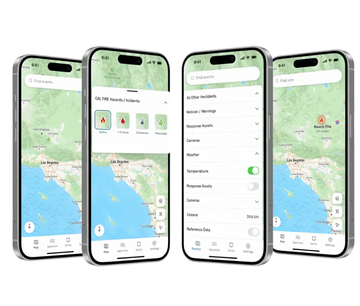
Now we have a single place for agencies to capture, share, and leverage data.
— Founder | Kate Dargan
Agencies we work with


product suite
Platform Overview


Unlocking True Interoperability
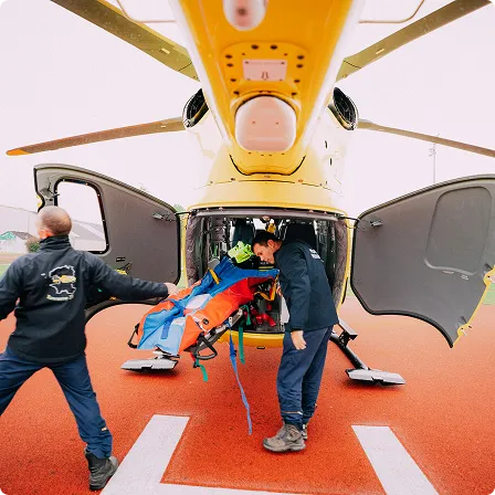
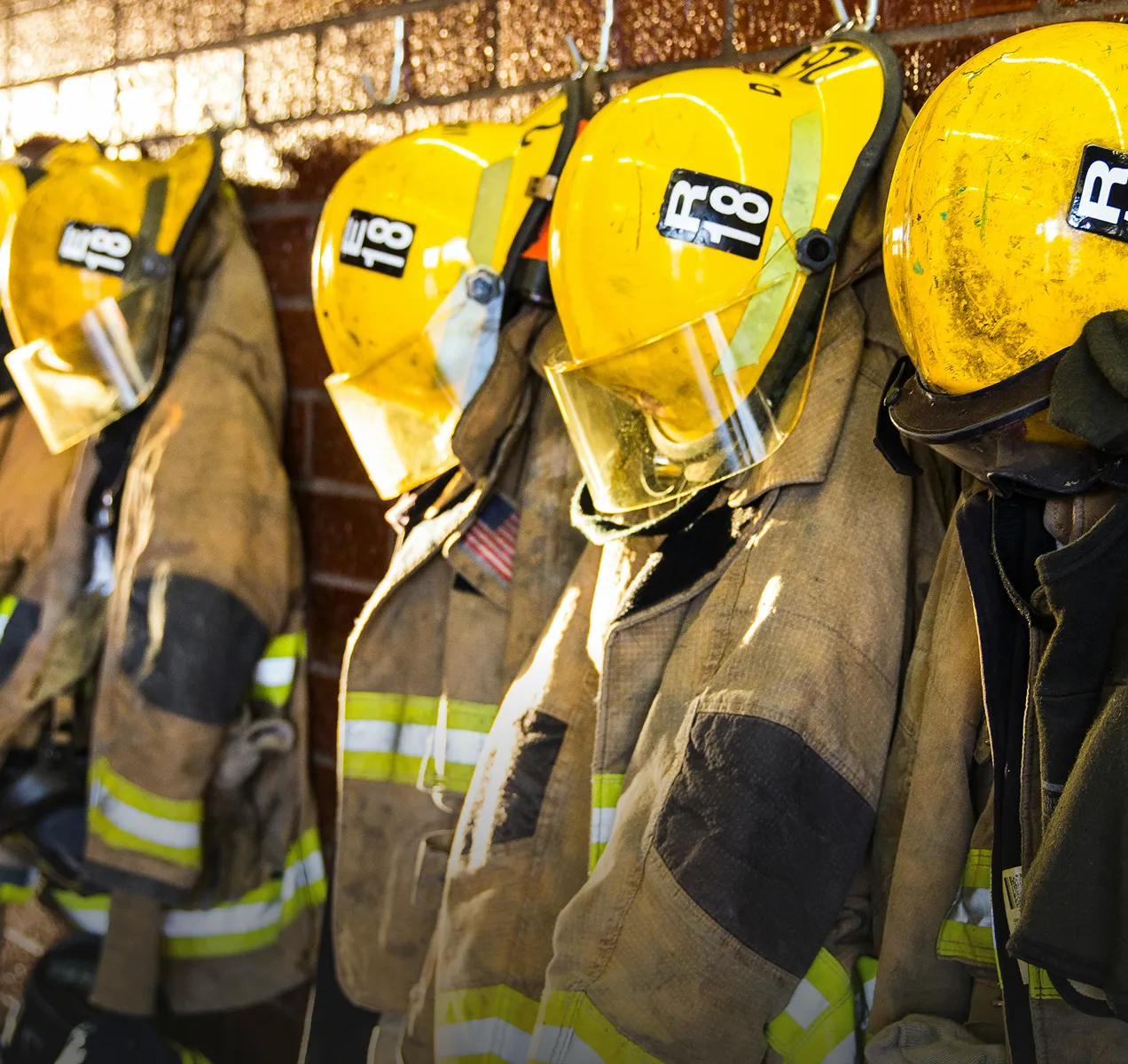
Fire

Metro & Wildland
EMS
Law Enforcement

tualatin valley fire & Rescue
“At TVF&R, our crews and battalion chiefs utilize Intterra every day as a response aid and to maintain a common operating picture.”
Marybeth Danielson
GIS Program Coordinator
Tualatin Valley Fire & Rescue
Tualatin Valley Fire & Rescue
get started